
Free Cancellation

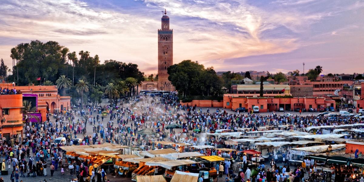
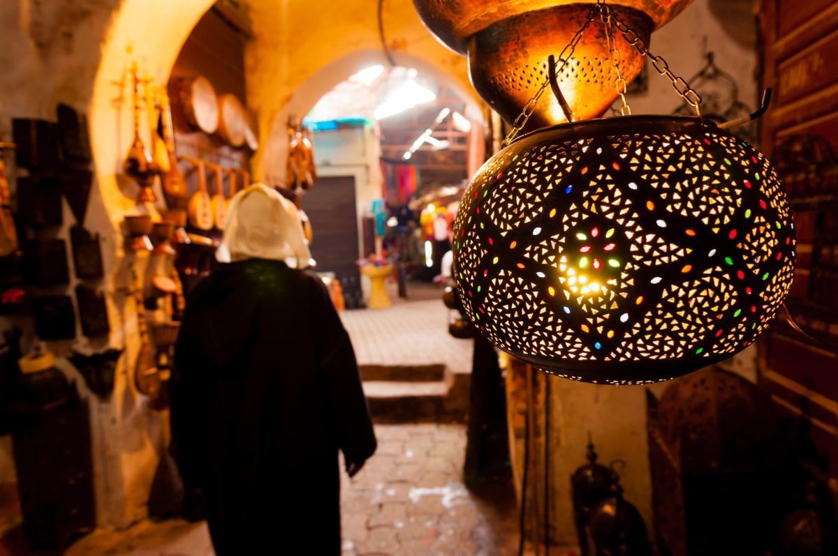
The Marrakech - Tensift - Al Haouz region stretches from the plains north of the High Atlas Mountains up into the range itself, taking in Toubkal, North Africa's highest peak, along with dozens of Berber villages scattered across its foothills. Marrakesh sits at the region's center as its administrative and commercial hub, but the wider region extends well past the city walls into farmland, river valleys, and mountain passes. Tours based in this region often use Marrakesh as a starting point before heading out into the surrounding countryside. The Morocco tours page has more routes covering this and other regions.
Agriculture defines much of the land outside the city, with olive groves, orchards, and argan forests spread across the plains that lead toward the mountains. The region's rivers, fed by snowmelt from the Atlas, irrigate this farmland and have supported settlement here since well before Marrakesh itself was founded in the 11th century. Villages in the foothills still follow farming and herding patterns tied to the seasons, and many welcome visitors on day trips organized from the city. Almond and olive trees blossom across these lower slopes in late winter, drawing local visitors up from Marrakesh on weekends well before the summer trekking season begins.
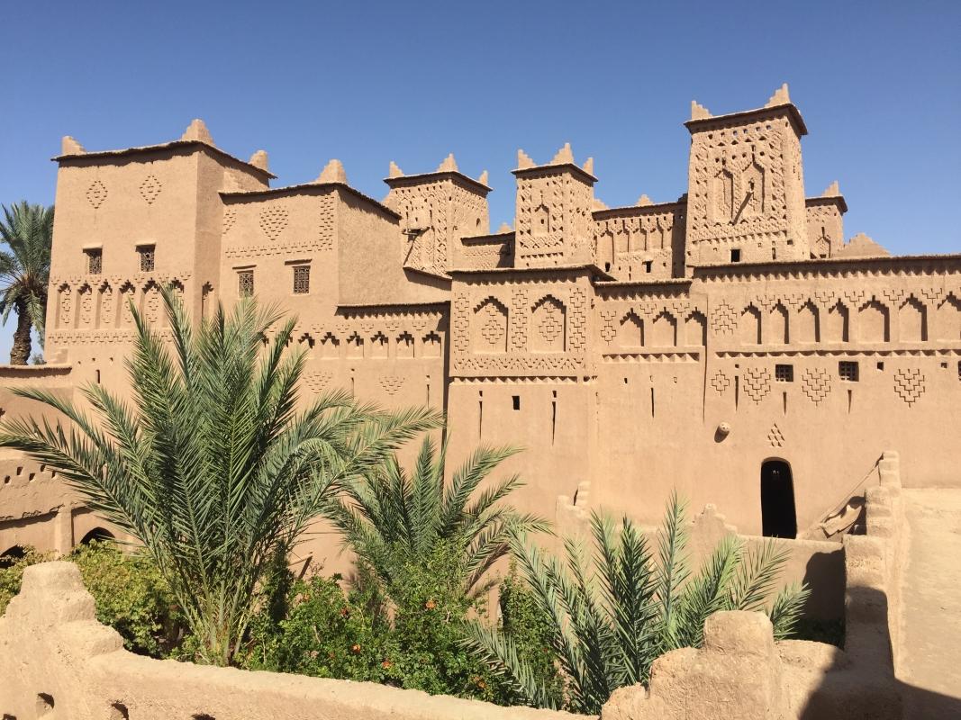
Mount Toubkal rises to 4,167 meters at the southern edge of the region, drawing hikers who base themselves in the village of Imlil for one or two-day treks. Even travelers not attempting the summit often drive up to Imlil to walk part of the trail and take in views over the valley below. The foothill villages here are built from packed earth and stone, stacked against the hillsides in a style shaped by centuries of Berber settlement and adapted to the steep, terraced land.
Local guides are required for the Toubkal ascent, and most treks hire mules to carry gear between Imlil and the mountain refuges, a system that has supported climbing in the range for decades. The Toubkal Refuge, sometimes called the Neltner Refuge, sits partway up the mountain and provides the overnight base most climbers use before a pre-dawn push to the summit. Guides based in Imlil and nearby villages also lead shorter routes that skip the summit push entirely, following valley trails between Berber hamlets at a gentler pace.
The Ourika Valley cuts into the Atlas about an hour southeast of Marrakesh, following a river lined with walnut trees and small Berber settlements. Waterfalls near the village of Setti Fatma are a common turnaround point for day visitors, reached by a short walk from the road. Weekly souks in villages along the valley draw farmers down from the surrounding hills to trade produce, livestock, and household goods, offering a look at rural life distinct from the city below.
The road south from the region toward Ouarzazate climbs over the Tizi n'Tichka pass, passing the Kasbah of Telouet, once the seat of the Glaoui family who controlled much of southern Morocco under French rule. Its interior rooms, decorated with carved plaster and painted cedar ceilings, sit in various states of disrepair but remain open to visitors willing to make the detour off the main highway. Further along the range, the Tin Mal Mosque, built by the Almohads in the 12th century, stands as one of the few mosques in Morocco that non-Muslim visitors are permitted to enter, a legacy of its role as a dynastic monument rather than an active place of worship. Travelers continuing past Telouet toward Ouarzazate sometimes extend the day further to Ait Ben Haddou, the fortified earthen kasbah recognized by UNESCO, though it lies outside this region in neighboring Ouarzazate province.
North and west of Marrakesh, the Haouz plain spreads out in a patchwork of wheat fields, olive groves, and orchards fed by an irrigation network dating back to the Almoravid dynasty. Argan trees grow wild across parts of this land, and cooperatives near the region's edges press the nuts into oil using methods passed down through generations of Berber women. This agricultural belt supplies much of the produce sold in Marrakesh's markets. Harvest season in the autumn brings olive presses across the plain into full operation, and some cooperatives welcome visitors to see traditional stone mills still used alongside modern equipment.
Villages across the region serve tagines cooked slowly over charcoal, often built around lamb, prunes, or seasonal vegetables from the surrounding farmland. Amlou, a spread made from roasted almonds, honey, and argan oil pressed nearby, appears on breakfast tables throughout the foothills and is sold in small jars at roadside stops. Mint tea, poured from a height to raise a light foam, accompanies most meals and stops along the trekking routes, offered to visitors as a matter of course even at roadside stalls with little else to sell.
Because Marrakesh sits at the crossroads of several routes, many tours use the region as a base for excursions that extend past its own borders. One popular route runs to the coastal town of Essaouira, outside the region but close enough for a full-day trip. The Discover Morocco With Essaouira Every Friday tour follows this pattern, departing weekly and pairing the region's plains and mountain scenery with a day on the Atlantic coast.