
Free Cancellation
-high.jpg&w=1920&q=75 "7 Days Tanzania Experience")
-high.jpg&w=1920&q=75 "6 Days Safari Tarangire National Park, Serengeti National Park, Ngorongoro Crater and Lake Manyara")
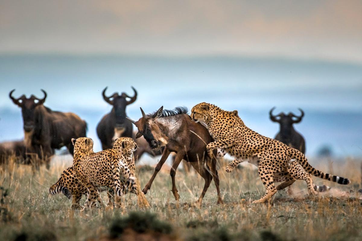
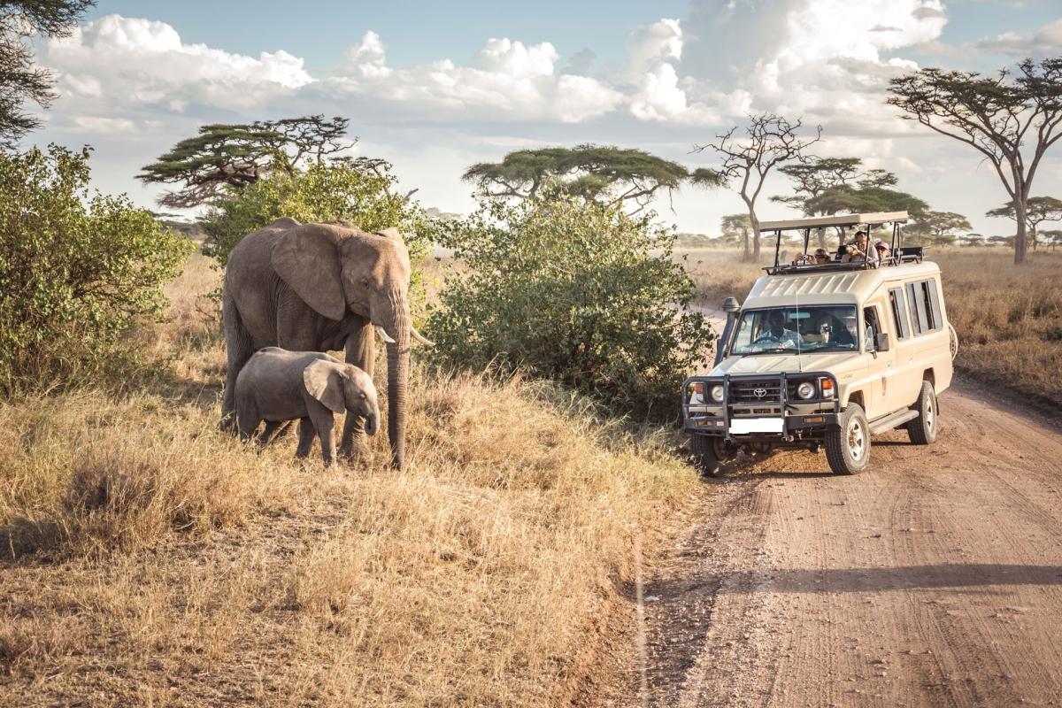
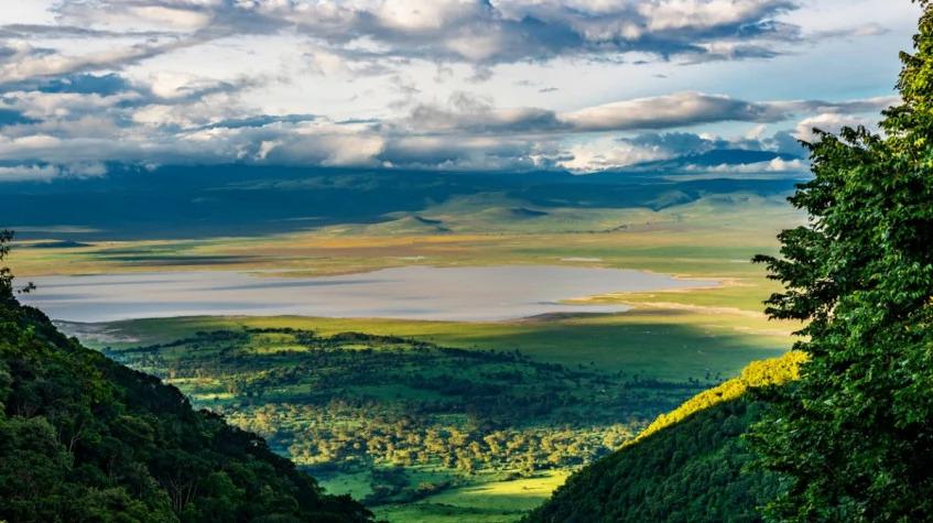
The Ngorongoro Conservation Area covers roughly 8,300 square kilometers of Tanzania's northern highlands, a protected area built around the Ngorongoro Crater but extending well beyond it. It sits on the same Tanzania tours route that connects the Serengeti to the Great Rift Valley, and it has been recognized as a UNESCO World Heritage Site since 1979.
Unlike a standard national park, the conservation area was set up under a multiple land-use model that allows Maasai communities to live within its boundaries and graze cattle alongside wild animals. That arrangement, combined with a landscape that stretches from volcanic highlands to open plains, makes the area far larger in scope than the crater floor most visitors associate with the name.
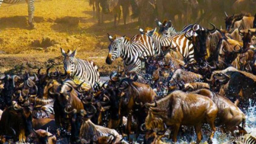
Since being separated from the Serengeti National Park in 1959, the conservation area has operated under rules that permit Maasai pastoralists to graze livestock within its boundaries, a setup not found in Tanzania's fully protected parks. Maasai bomas, or homesteads, are scattered through the highlands, and it is common to see herders moving cattle across the same grasslands used by zebra and wildebeest.
The model is often cited as a rare example of a protected area designed around both conservation and traditional livestock herding rather than excluding local communities entirely. Travelers driving through the highlands will often pass cattle, goats and donkeys moving alongside herds of wild grazers, a juxtaposition not found in Tanzania's other major parks. Villages of Maasai bomas sit mostly on the higher, cooler ground away from the main game-viewing routes, so a cultural stop is usually arranged as a deliberate detour rather than something passed on the way to the crater.
Beyond the main crater, the conservation area holds volcanic features including Empakaai Crater, whose floor holds a soda lake often visited by flamingos, and Olmoti Crater, known for its grassland floor and a waterfall along the rim. Both require a hike to view properly and see far fewer visitors than the main crater, appealing to travelers who want a quieter highland stop.
Both craters are reached by rougher roads than the main crater and typically involve a stop at a ranger post before a guided walk to the rim or floor. Their remoteness means they see a fraction of the visitors that descend into the main caldera each day, which suits travelers who prioritize quiet scenery over guaranteed wildlife density. Elsewhere in the conservation area's northern reaches, a crescent-shaped dune of dark volcanic ash known as the Shifting Sands slowly migrates across the plains under the wind, a curiosity occasionally added to itineraries that push further off the main crater route.
Much of the conservation area sits at high elevation, with the surrounding highlands rising above 2,200 meters and supporting cooler temperatures and montane forest cover than the plains below. Mount Loolmalasin, the highest point in the area at well over 3,600 meters, anchors a highland massif that separates the crater from the drier plains further west toward the Serengeti. Geologists sometimes group Ngorongoro with its neighboring volcanic features under the name Crater Highlands, a chain of extinct and dormant cones running northwest toward Ol Doinyo Lengai, Tanzania's only active volcano, which sits outside the conservation area's boundary but is visible from some of its higher viewpoints.
Forest patches at these elevations differ noticeably from the acacia woodland and grassland found lower down, supporting different bird and plant life along the way. Within its boundaries lies Olduvai Gorge, a site significant for early human fossil discoveries tied to the work of paleoanthropologists Louis and Mary Leakey. A small museum near the gorge displays some of the finds made in the area, and many itineraries pair a stop here with time in the highlands before or after visiting the crater floor.
Because the conservation area includes so many contrasting landscapes, most itineraries spend at least a full day here beyond any time in the crater itself. A single conservation area entry fee typically covers the highlands and any additional craters visited on the same trip, though descending into the main caldera usually requires a separate vehicle fee. The area is managed by the Ngorongoro Conservation Area Authority, a Tanzanian government body tasked with balancing tourism, conservation and the rights of the Maasai communities who live within the same boundaries.
Travelers interested in the wider area alongside the crater can consider the 4 Days Iconic Ngorongoro Crater, which builds in time across the region rather than the crater floor alone.