
Free Cancellation

-high.jpg&w=1920&q=75 "8 Days Ultimate Kenya Safari Adventure: Explore the Best of Kenya’s Wildlife and Landscapes")
-high.jpg&w=1920&q=75 "10 Days Discover Kenya Luxury Wildlife Safari on 4x4 Land Cruiser Jeep")



---Copy---Copy-(3)-high.jpg&w=1920&q=75 "4 Days Midrange Amboseli National Park, Tsavo West and Tsavo East Safari")
Tsavo is Kenya on a larger scale than almost anywhere else in the country, a single ecosystem so big it is managed as two national parks, Tsavo East and Tsavo West, and a frequent stop on a longer Kenya safari, with a combined area of roughly 22,000 square kilometers. That makes it the largest protected area in Kenya by a wide margin, and one of the biggest national parks anywhere in the world. The Nairobi-Mombasa highway and railway line cut through the middle of the ecosystem, splitting it administratively into east and west while wildlife continues moving across both halves. Its name comes from the Kamba word for the Tsavo River, the permanent watercourse that still draws game to its banks through the driest months.
Gazetted in 1948, Tsavo sits roughly midway between Nairobi and the coast, making it an easy add-on for travelers heading to or from Mombasa and Diani rather than a separate journey of its own. Compared with the Maasai Mara or Amboseli, Tsavo sees relatively light traffic given its size, and long stretches of road inside the park can pass without another vehicle in sight, a rarity across Kenya's more visited circuits. Six distinct habitat types are packed into the ecosystem, from dry thornbush and open grassland to riverine forest along the Galana and Tsavo Rivers, which supports a wider range of species than the terrain first suggests. Self-driving is possible for travelers with a suitable four-wheel-drive vehicle, though most visitors join a guided safari given the scale of the terrain and the limited signposting away from the main tracks.
Tsavo East, the flatter and larger of the two halves at around 11,700 square kilometers, is known for open plains, the Yatta Plateau along its western edge and the Galana River, which cuts through otherwise dry country and draws large concentrations of game to its banks. Formed by an ancient lava flow, the Yatta Plateau stretches for close to 290 kilometers and ranks among the longest such formations in the world, running along the park boundary like a low natural wall. Its western counterpart, roughly 9,000 square kilometers, is hillier and more dramatic, with volcanic peaks, the spring-fed pools of Mzima Springs and views of Kilimanjaro on clear days. Additional landmarks include Lugard Falls, a set of rapids carved through rock on the Galana River, and Aruba Dam, built across the Voi River in the 1950s and still a reliable dry-season gathering point for elephant, buffalo and a wide range of waterbirds, both in the east. In the west, the Ngulia Hills are a noted spot for leopard sightings. Mudanda Rock, a natural dam formation in Tsavo East, draws large elephant herds to drink below it during the dry months and offers one of the ecosystem's more reliable viewpoints. Both halves are managed separately with their own gates and fee structures, though a single multi-day itinerary can cover them without much backtracking.
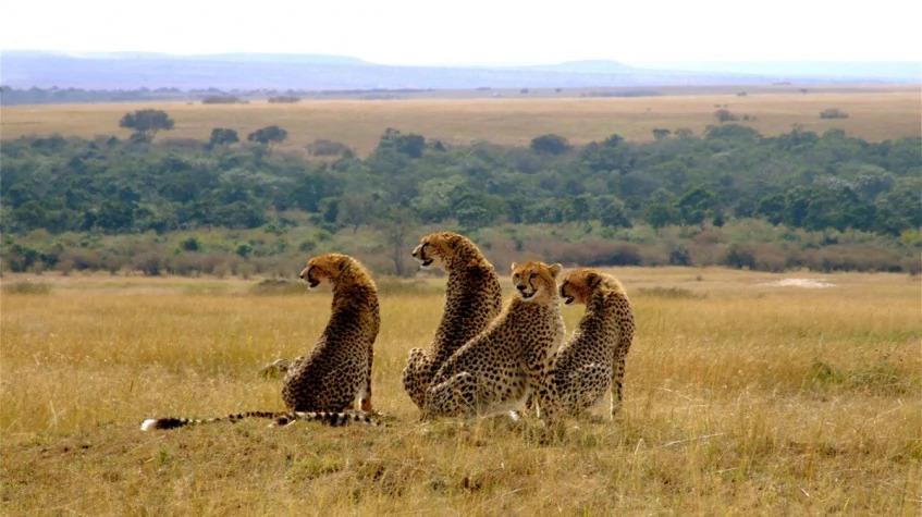
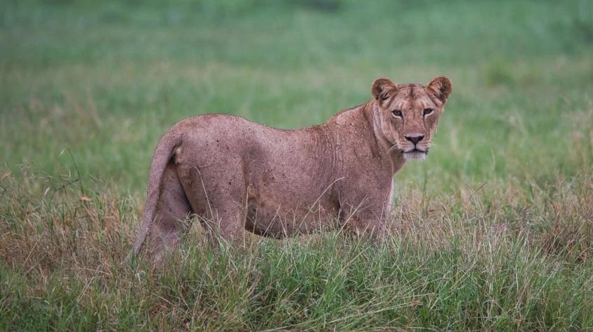
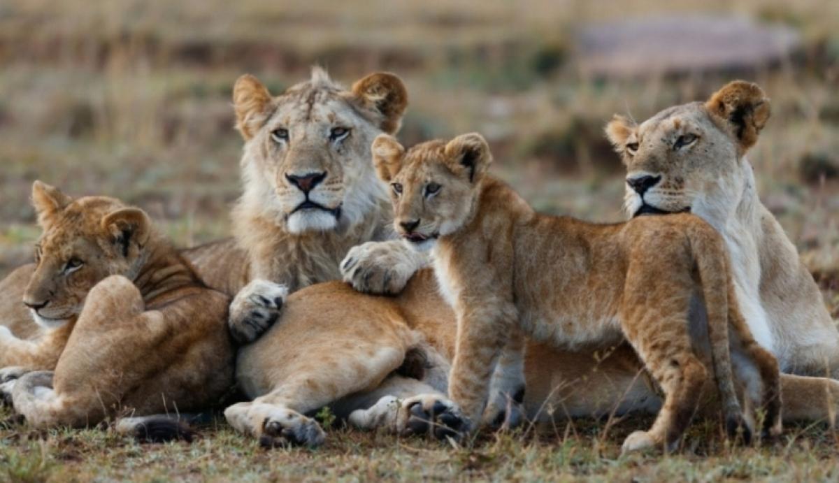
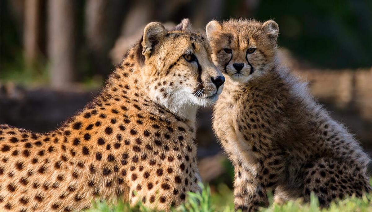
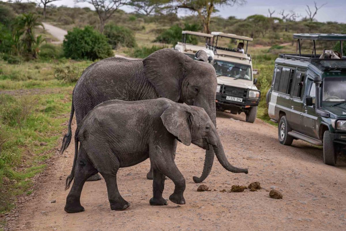
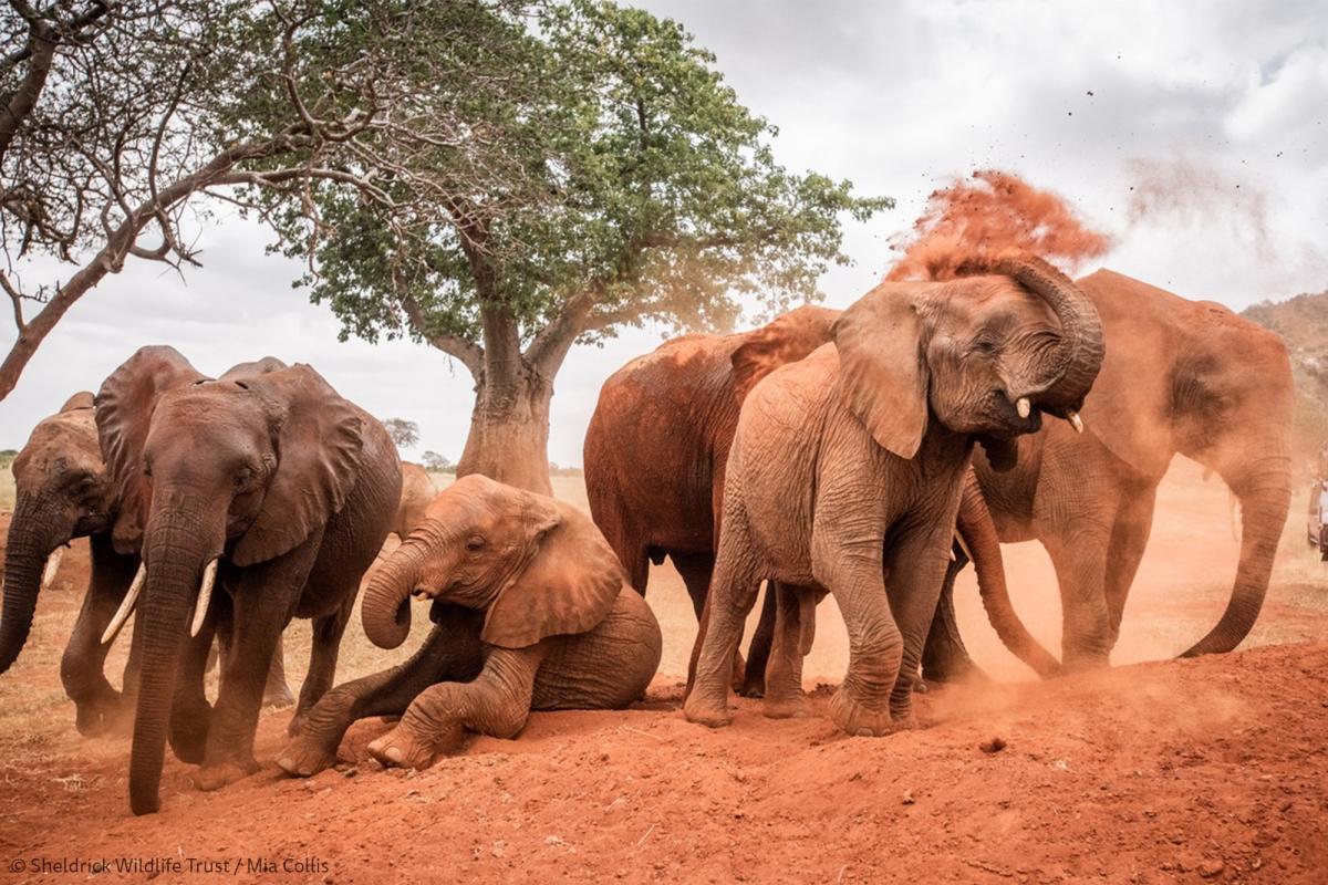
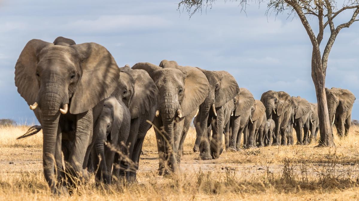
Tsavo's elephants are its signature sight, and their reddish color comes from dust-bathing in the park's iron-rich volcanic soil rather than from their natural hide. Herds here are among the largest in Kenya, a legacy of the ecosystem's scale and relatively low human pressure compared with smaller reserves, and sightings of thirty or more elephants moving together across open ground are common in the dry season. Lion, cheetah, buffalo and substantial plains game populations share the same country, along with more than 500 recorded bird species across the two parks.
The park's most famous historical episode dates to 1898, when two lions killed dozens of workers building the Uganda Railway bridge over the Tsavo River, halting construction for several months until the engineer in charge, John Henry Patterson, hunted them down. Later dramatized in film, the story still shapes how Tsavo is remembered today, and sections of the railway the lions delayed remain visible along the park boundary. Conservation work continues in the same landscape, with ongoing anti-poaching patrols helping the ecosystem hold one of Kenya's largest surviving elephant populations.
Tsavo's position along the main Nairobi-Mombasa corridor makes it a practical stop for coast-bound travelers, and several operators run short safaris directly from the coast, such as the 2-day safari from Mombasa or Diani to Tsavo East National Park, which fits a full game-viewing experience into a short break from the beach. Voi, the main gateway town on the eastern side, sits around five hours by road from Nairobi and closer to three hours from Mombasa, and most itineraries route through one of several entrance gates near the highway. Mtito Andei, roughly the ecosystem's halfway point, sits directly on the highway and marks the boundary between the two parks, with separate gates for Tsavo East and Tsavo West only a few minutes apart.
Dry seasons from June to October and January to February bring the clearest game viewing, as animals gather near the Galana River and remaining waterholes. Short rains in November and long rains from March to May green the landscape and bring migratory birds, though some tracks in Tsavo West can become difficult to pass after heavy storms.